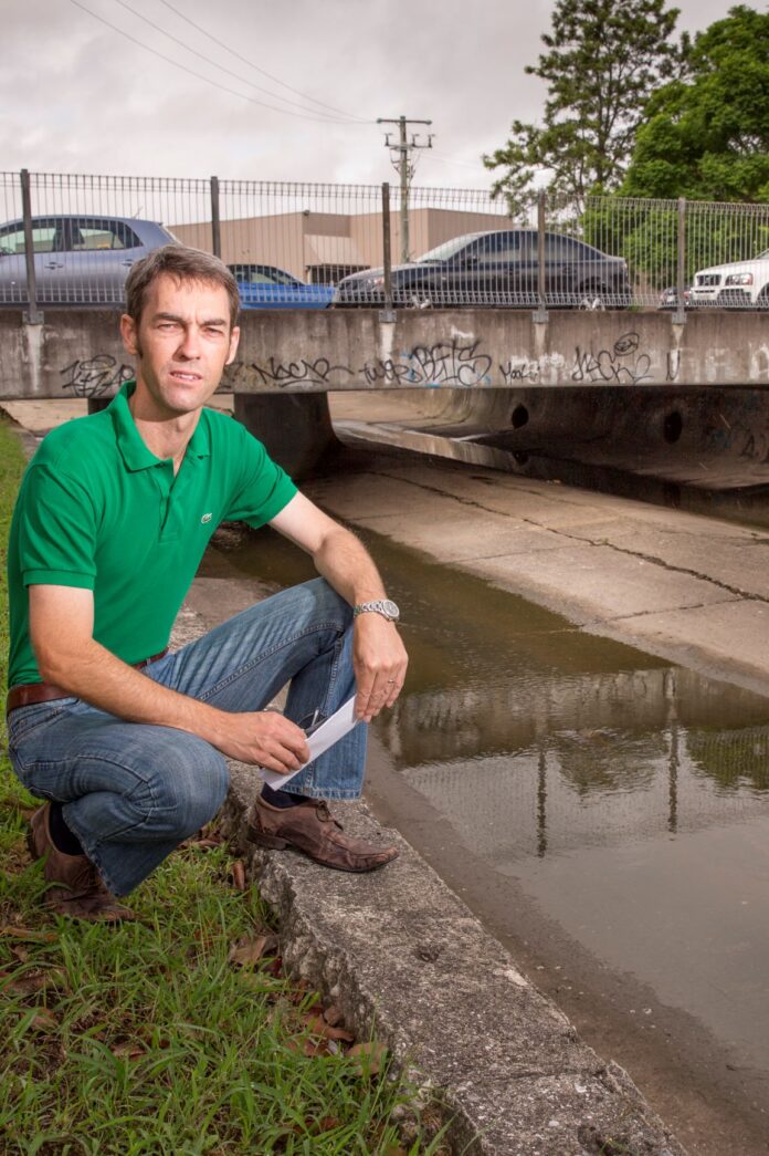
Newcastle has been ranked the 15th most flood-prone federal electorate in Australia.
Research conducted by the Insurance Council of Australia revealed the top 20 most flood-prone areas by the number of land parcels exposed to flood probabilities, ranging from the most frequent to the largest possible flood.
One of four cities in NSW, Newcastle came in at 20,078 [land parcels].
Not surprisingly, Queensland took the cake, accounting for 16 of the 20 electorates, with Herbert being the worst affected.
The insurance council analysed official flood data collated from governments across Australia for the industry’s National Flood Information Database and matched it against federal electoral boundaries for ease of comparison.
ICA General Manager of Risk and Disaster Planning, Karl Sullivan, said the results were a wake-up call to all levels of government about the urgent need to prioritise investment in flood mitigation.
“Some communities within these federal electorates are governed by local councils with comprehensive flood-risk mitigation programs,” he said.
“Others may lack the capacity and funding to carry out the required work.”
A Newcastle council spokesperson told Newcastle Weekly it was well ahead of the game in terms of flood-risk mitigation.
“City of Newcastle has adopted Floodplain Risk Management Plans for [the] Newcastle City Wide and Wallsend Commercial Area,” the spokesperson said.
“These plans detail a number of actions that City of Newcastle is in the process of implementing to reduce flood risk across the LGA.
“These actions include land use planning, development controls, flood mitigation works, [a] flash flood alert service, flood education campaigns and [an] adopted strategy for Low Lying Areas.”
The council encouraged those who lived and worked in the Newcastle area to register for its flash flood alert service via the council’s website.
During a high rainfall event that has the potential to cause flooding, the service sends registered users notifications via SMS, email or recorded voice message, warning what type of flood risk is anticipated, from minor to major.
The council’s online interactive flood risk map shows parts of Wallsend (including the notorious Tyrrell Street bridge, which is soon to be replaced), Jesmond, Kotara, Merewether, The Junction, and Sandgate as being at “high risk”, with some affected by the Hunter River, which is itself at high risk of flooding.
Go to newcastle.nsw.gov.au/Living/Environment/Flooding for more information.
More stories:


